The Gambia is pretty much The Gambia. Or rather the country known as The Gambia pretty much is comprised of The Gambia River and 20 klicks or so on either bank. The Gambia is the smallest country of mainland Africa and is surrounded on three sides by Senegal.
The two main highways on the north and south bank are quite good. They don’t have line markings but the bitumen is in fairly good shape. There just aren’t a lot of bridges that cross the river.
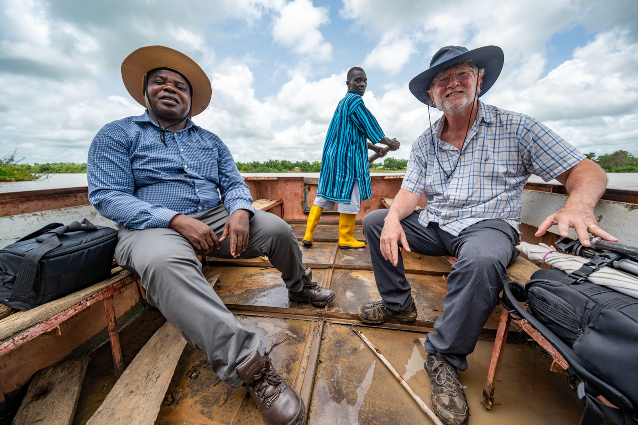
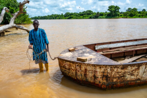
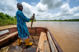
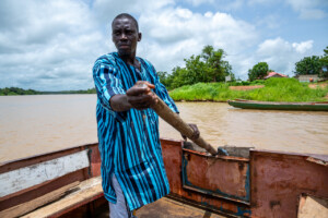
We were on the north bank and wanted to see a farmer on the south bank … and we didn’t want to drive 150 kms to the Senegambia Bridge or wait an hour or so for the ferry 20 kms downstream. Our local partner, Omar, arranged for the farmer to meet us with his boat. They put a motorcycle on the boat and got us across by paddling.
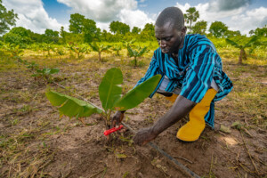
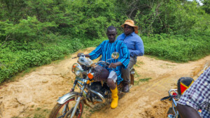
On the other side, another motorcycle was awaiting us for the four of us jumped on the two bikes and followed a muddy track until we arrived at the farmer’s banana plantation. Omar had taught him to use irrigation methods, so we had a look at his work. I struggled to appreciate why the farmer would need irrigation, but the changing climate has brought drought to the region and the supplemental irrigation helps keep the bananas alive in periods of drought.
We wanted to visit another community on the south bank so we headed back downstream after driving almost the entire length of the country. We waited an hour or so for a ferry since we caught the crew in afternoon prayers and lunch.
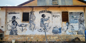
Upon reaching the southbank at Janjanbureh, a mural and plaque on a tree reminded me of the sad reality that as many as three million slaves may have been taken from the region during the three centuries that the transatlantic slave trade operated. Some liberated slaves returned to Africa and settled in Janjanbureh in the 1830s.

